Search the Community
Showing results for tags 'import'.
-
PVGIS horizon imports are currently not working properly as they are only importing 180deg of the horizon from 0deg to 180deg and not including -180deg to 0deg. This is a problem with both 5.2 and 5.3 currently.
-
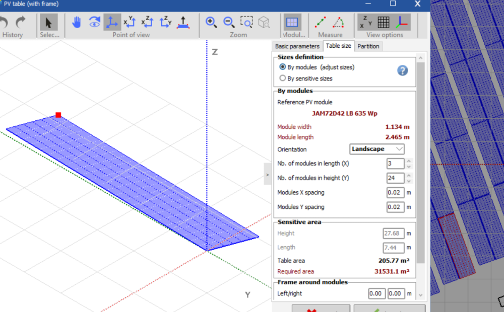
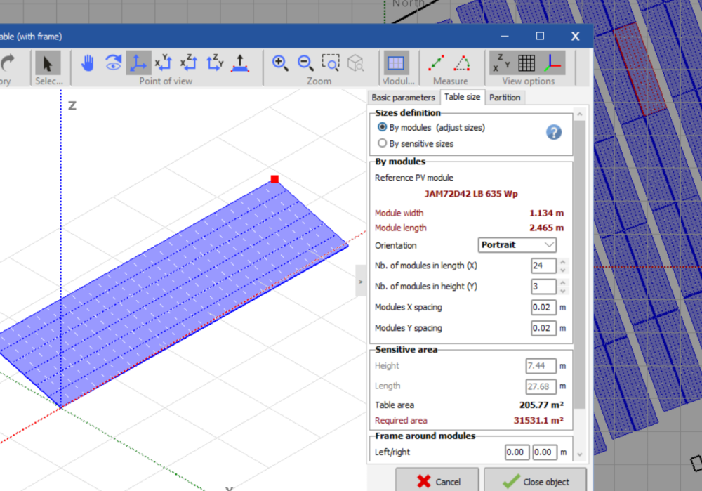
Hello, When I import a scene from PVcase, in several occasions the tables take two different orientations automatically, either modules in portrait (3 rows x 24 modules) or modules in landscape (24 rows x 3 modules). This was not a major issue in PVcase 7 as in the orientation manager you could override this. However, in the new PVsyst 8, with and EW system I can not simulate the bifacial option as the widths of the tables are not the same (an error pops up). If I change manually in the list of objects the configuration of these "wrong" tables, they move all over the scene. How can I fix the error in importing/reading correctly the tables? This would also reduce the threshold of the setting in max. spread of azimut for the same orientation. Note: this is not an issue of this particular project as it has happened before in multiple projects. Many thanks!
- 1 reply
-
- pvcase
- orientation
-
(and 4 more)
Tagged with:
-
Hello, Can I import a project created on version 7.4 to version 7.2? I tried doing it but it said that since the project was created on a newer version, it's not feasible. The project part was imported, but the variant part was not imported and I have to input the data all over again. Thanks in advance.
-
I am having trouble with measurements on PVsyst when I imported ground data as CSV file. All of the lengths of my field are longer than actual size. Also I have bigger area according to PVsyst's measurement tool. I created the csv file as it says in the pvsyst help file. In addition, all of the lengths are measured in the field by Topographical Engineer so I have approved results in terms of calculations and other stuff. Thank you.
-
Hi to everyone and thank you for your time. I am designing a PV power plant with fixed structures and bifacial modules. I have a terrain with around 30.000 m2, but only different zones that sum up to 20.000 m2 can be used to install PV. First of all, I have imported a csv file with the ground data based on a topographical survey. Now my problem is that the terrain is quite flat and it is difficult for me to define the table zones manually because I don't have many reference points. I already have a dwg with the zones where I can or I can't install PV modules. Do you know if there is any way to import these zones? One idea I had is to import different lines or objects that define the table zones as a reference point, use them to draw my table zones using "xy point of view" and finally delete these objects or lines before filling the table zones. Do you know how could I do it or any other way that could help me? Thanks!

.png.8858780cf01ee36b4ce12fc3eb22fa30.png)

