Salvo
-
Posts
7 -
Joined
-
Last visited
-
Thank you very much Stephane. Regards Salvatore
-
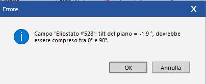
Hi everyone, I tried to import a shading scene where there are both fixed and tracker panels and I have two different panels for each structure. I can't set up the simulation, also I get this error in the shading scene (which I don't have if I use only one type of fixed or tracker structure) “plane tilt =-1.9°, should be between 0° and 90° How can I do this simulation? Thank you in advance Regards Salvatore

-
Dear Hizir, thank you very much for the answer. So the program doesn't consider the elevation of the panel from the terrain and the elevation of the terrain on the layout? The altitude value is taken only from the site of the project? Thank you Regards
-
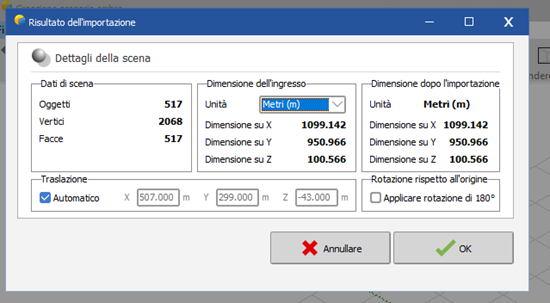
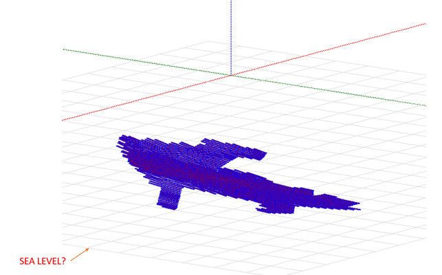
Hi everyone, In the shading scene, when I import a pvc file, I don't have the same altitude of the terrain of the project. In particular, I didn't understand if the squares represent the sea level. I tried to do two different simulations at different altitudes and I found different values of yields. Is it possible to import the same altitude of the terrain in the shading scene? Thanks in advance Regards
-
Hi everyone, Is it possible to design the plant layout after having imported the topographic data directly into PVsyst, or is it better to do this preliminary operation in another software and then import the pvc file? Thanks in advance Regards
-
Dear Stephane, I tried to do this operation, but the problem is that DAE file it is very heavy to manage. Thank you for your answer. Regards Salvatore
-
Hi everyone, I tried to import a plant layout (DWG) into Pvsyst, converting it into DAE. The problem is that it is very heavy to manage, so I thought about using the PVC format to see if it is easier to manage by the program. Is it possible to convert a DWG/DXF file to PVC? Thanks in advance Regards