Hi,
I am using PVsyst 8.0.6 version. I have imported the ground data successfully and I am trying to adjust the modules so they follow the terrain conditions. These were the steps:
1. Import ground data.
2. Add a new zone
3. Define field properties
4. Fill the area
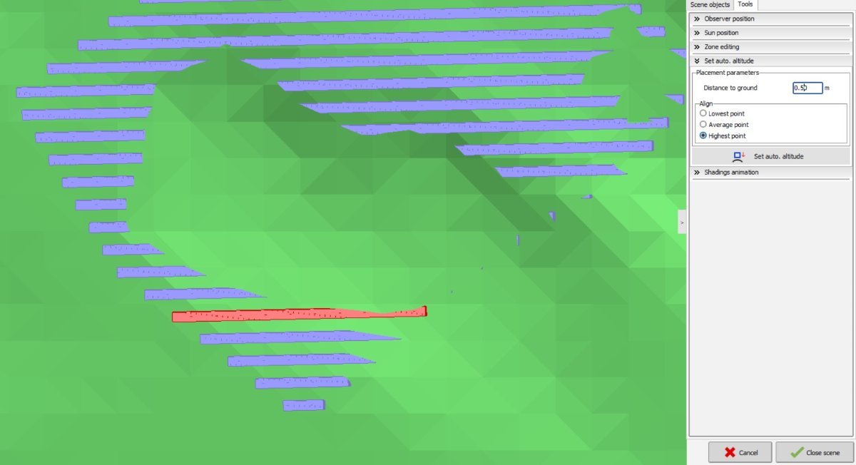
5. Right click on one of the tables generated, click automatic altitude, align to highest point, click set auto.
The array seems to do something but it does not follow the terrain. Snapshot added.
Please, any hints about how to solve this problem. Thanks